
Drones serve as the aerial eye of the construction jobsite, helping field engineers survey sites, perform cut-and-fill analysis, and monitor project progress faster than traditional workflows allow. PCL Construction, for example, captured an entire Florida jobsite in under 12 minutes by drone, then produced an orthomosaic and point cloud within hours.
One area that drones have had a big impact is in managing earthworks projects.
We’ve identified 5 key reasons why drones should manage earthworks projects:
How Do Drones Speed Up Site Surveying?
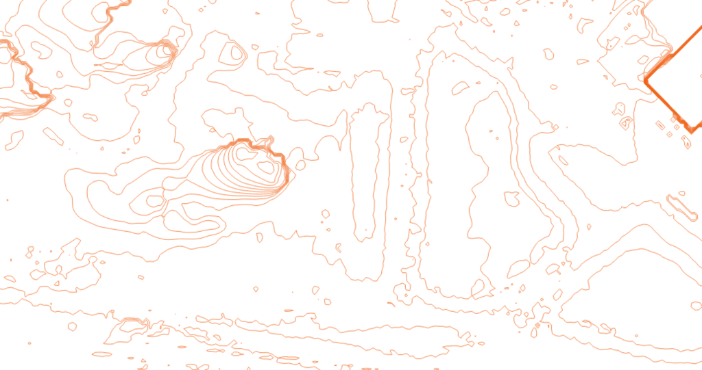
Drones reduce earthworks site surveying from hours of manual walking and measurement to a matter of minutes of aerial capture. PCL Construction flew a drone at their Florida jobsite and captured the entire area in less than 12 minutes, then processed the imagery into an orthomosaic and a point cloud within hours, replacing a workflow that traditionally takes one to two days.
How Do Drones Simplify Cut-and-Fill Analysis?
Cut-and-fill analysis on large or complex terrain sites traditionally requires days of topographic survey work followed by another day of post-processing. Drone software platforms such as Site Scan, developed by 3D Robotics, process aerial data in the cloud and export it into native Autodesk file formats, including RCS point cloud files compatible with Civil 3D, reducing that multi-day process to a fraction of the time.
For example, one of our customer, Bogh Engineering, a family-owned firm building schools in California, created this cut-and-fill Analysis diagram after importing drone data into Civil 3D:
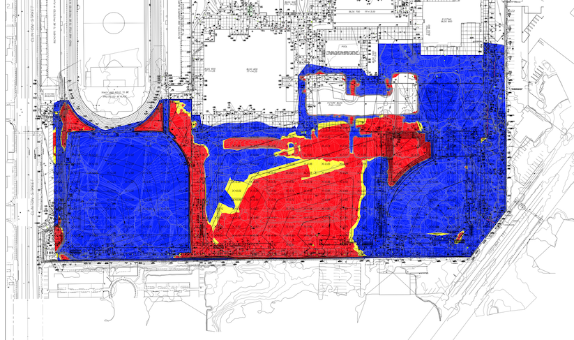
Cut-and-fill analysis using data from Site Scan
Bogh has been able to streamline their cut-and-fill workflow with drones, making it 4X more productive and empowering the whole team to get valuable insights with the push of a button.
How Do Drones Help Verify Progress and Resolve Disputes?
Regular progress monitoring on earthworks projects is critical at key milestones and contractor handoffs, yet many firms find traditional documentation too expensive and time-consuming to perform consistently. Drones give construction teams a practical solution: flying the site once per day, processing imagery into an orthomosaic, and comparing an elevation map against initial site plans to document progress and support quality control.
How Do Drones Support Earthworks Cost Estimates?
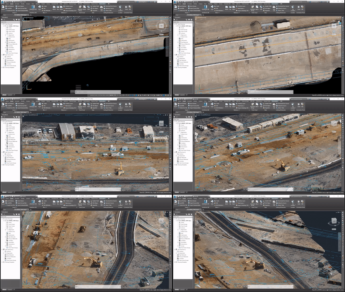
Accurate volume measurements are essential for calculating the cost and labor time involved in managing earthworks resources and keeping projects within budget. By flying a drone over a jobsite in minutes, field engineers can import the captured data into tools such as Civil 3D and generate a surface model that supports both cost and labor estimates, reducing the time required compared to traditional ground-based measurement workflows.
How Do Drones Improve Safety for Landfill Personnel?
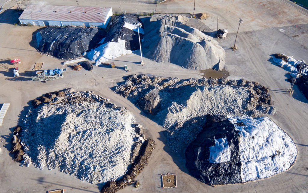
Landfill personnel who measure aggregates and stockpiles using traditional survey tools spend days walking uneven, steep, and jagged slopes, which creates significant fall risk. Drones allow landfill teams to inspect stockpiles from a safe distance, eliminating the need to walk hazardous terrain while simultaneously collecting far more data points than traditional ground-based survey methods provide.
 The article was written by Hugh McFall, Marketing Specialist at 3D Robotics in Berkeley, California. He tells stories about how construction and engineering professionals use Site Scan, 3DR’s drone to data platform, to save time and money and improve collaboration on projects.